WSentinel capture software creates 3 primary event files; composite jpg, video(.mp4), and a spreadsheet(.csv) which contains a timehistory of energy, azimuth/elevation, and pixel mapping for the event as seen from the camera location: (see Spreadsheet Column Definitions here).
NOTE: The az/el data in the spreadsheet are approximations and offline calibration is required for refined assessments. Refined calibrations require use of the nightly composites which are available via the link on the right side of this page.
If you don't see an event, or you are looking for data over 30 days old, please contact us at: 
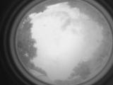
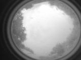
Node Events (last 30 days)
|
|
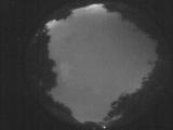
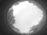
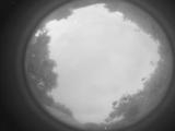
Date: July 24 2025
Time: 01:39:10.572 UTC
|
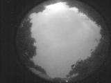
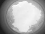
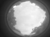
Date: July 24 2025
Time: 01:33:41.259 UTC
|
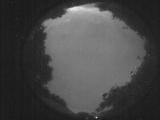
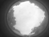
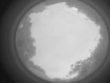
Date: July 24 2025
Time: 01:28:12.846 UTC
|
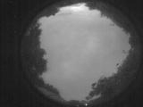
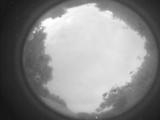
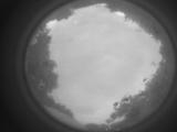
Date: July 24 2025
Time: 01:22:45.234 UTC
|

Date: July 24 2025
Time: 01:17:37.10 UTC
|
Date: July 24 2025
Time: 01:16:02.583 UTC
|
Date: July 24 2025
Time: 01:15:13.903 UTC
|
Date: July 24 2025
Time: 01:15:03.494 UTC
|
Date: July 24 2025
Time: 01:15:00.194 UTC
|
Date: July 24 2025
Time: 01:13:58.605 UTC
|
Date: July 24 2025
Time: 01:12:13.397 UTC
|
Date: July 24 2025
Time: 01:11:50.208 UTC
|
Date: July 24 2025
Time: 01:10:39.949 UTC
|
Date: July 24 2025
Time: 01:09:16.830 UTC
|
Date: July 24 2025
Time: 01:08:37.631 UTC
|

Date: July 24 2025
Time: 01:08:22.781 UTC
|
Date: July 24 2025
Time: 01:07:49.711 UTC
|
Date: July 24 2025
Time: 01:06:21.893 UTC
|
Date: July 24 2025
Time: 00:22:04.594 UTC
|
Date: July 24 2025
Time: 00:06:41.673 UTC
|
|
