WSentinel capture software creates 3 primary event files; composite jpg, video(.mp4), and a spreadsheet(.csv) which contains a timehistory of energy, azimuth/elevation, and pixel mapping for the event as seen from the camera location: (see Spreadsheet Column Definitions here).
NOTE: The az/el data in the spreadsheet are approximations and offline calibration is required for refined assessments. Refined calibrations require use of the nightly composites which are available via the link on the right side of this page.
If you don't see an event, or you are looking for data over 30 days old, please contact us at: 
Node Events (last 30 days)
|
|
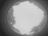
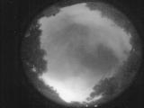
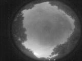
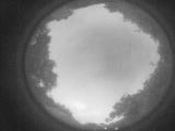
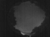
Date: July 24 2025
Time: 10:01:20.823 UTC
|
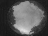
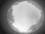
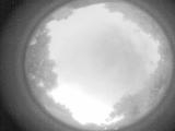
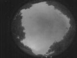
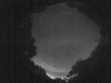
Date: July 24 2025
Time: 09:57:25.658 UTC
|
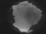
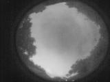
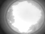
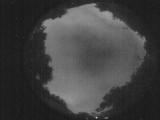
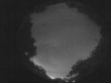
Date: July 24 2025
Time: 09:56:50.458 UTC
|
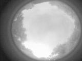
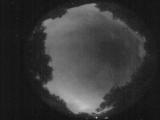
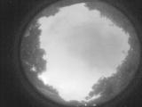
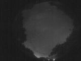
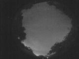
Date: July 24 2025
Time: 09:55:26.350 UTC
|
Date: July 24 2025
Time: 09:52:48.264 UTC
|
Date: July 24 2025
Time: 09:50:51.986 UTC
|
Date: July 24 2025
Time: 09:48:37.229 UTC
|
Date: July 24 2025
Time: 09:47:48.79 UTC
|
Date: July 24 2025
Time: 09:46:32.701 UTC
|
Date: July 24 2025
Time: 09:43:11.345 UTC
|
Date: July 24 2025
Time: 09:40:30.228 UTC
|
Date: July 24 2025
Time: 09:36:57.422 UTC
|
Date: July 24 2025
Time: 09:35:46.724 UTC
|
Date: July 24 2025
Time: 09:19:23.614 UTC
|
Date: July 24 2025
Time: 09:16:51.666 UTC
|
Date: July 24 2025
Time: 05:27:19.681 UTC
|
Date: July 24 2025
Time: 05:12:46.717 UTC
|
Date: July 24 2025
Time: 05:08:19.663 UTC
|
Date: July 24 2025
Time: 05:01:34.871 UTC
|
Date: July 24 2025
Time: 04:56:57.906 UTC
|
|
