WSentinel capture software creates 3 primary event files; composite jpg, video(.mp4), and a spreadsheet(.csv) which contains a timehistory of energy, azimuth/elevation, and pixel mapping for the event as seen from the camera location: (see Spreadsheet Column Definitions here).
NOTE: The az/el data in the spreadsheet are approximations and offline calibration is required for refined assessments. Refined calibrations require use of the nightly composites which are available via the link on the right side of this page.
If you don't see an event, or you are looking for data over 30 days old, please contact us at: 
Node Events (last 30 days)
|
|
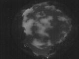
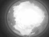
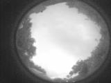
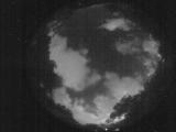
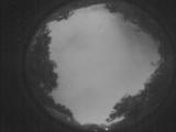
Date: July 26 2025
Time: 02:56:02.5 UTC
|
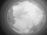
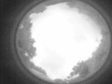
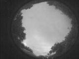
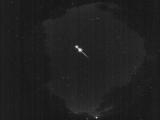
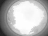
Date: July 25 2025
Time: 10:28:48.919 UTC
|
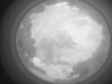
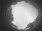
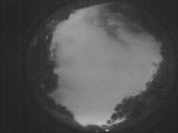
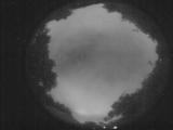
Date: July 25 2025
Time: 10:25:20.893 UTC
|
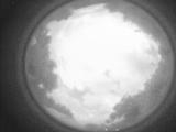
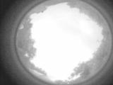
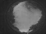
Date: July 25 2025
Time: 10:20:35.177 UTC
|
Date: July 25 2025
Time: 10:16:57.112 UTC
|
Date: July 25 2025
Time: 10:12:12.936 UTC
|
Date: July 25 2025
Time: 10:10:31.667 UTC
|
Date: July 25 2025
Time: 10:08:16.370 UTC
|
Date: July 25 2025
Time: 10:07:15.950 UTC
|
Date: July 25 2025
Time: 10:06:44.551 UTC
|
Date: July 25 2025
Time: 09:36:01.553 UTC
|
Date: July 25 2025
Time: 09:35:47.773 UTC
|
Date: July 25 2025
Time: 09:12:58.201 UTC
|
Date: July 25 2025
Time: 08:00:51.439 UTC
|
Date: July 25 2025
Time: 05:48:45.671 UTC
|
Date: July 25 2025
Time: 05:48:27.621 UTC
|

Date: July 25 2025
Time: 05:48:25.551 UTC
|
Date: July 25 2025
Time: 05:33:30.256 UTC
|
Date: July 24 2025
Time: 10:15:24.925 UTC
|
Date: July 24 2025
Time: 10:03:00.550 UTC
|
|
