WSentinel capture software creates 3 primary event files; composite jpg, video(.mp4), and a spreadsheet(.csv) which contains a timehistory of energy, azimuth/elevation, and pixel mapping for the event as seen from the camera location: (see Spreadsheet Column Definitions here).
NOTE: The az/el data in the spreadsheet are approximations and offline calibration is required for refined assessments. Refined calibrations require use of the nightly composites which are available via the link on the right side of this page.
If you don't see an event, or you are looking for data over 30 days old, please contact us at: 
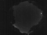
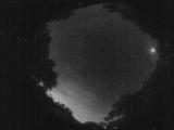
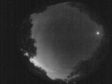
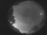
Node Events (last 30 days)
|
|
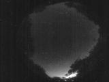
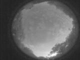
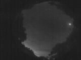
Date: May 31 2025
Time: 04:00:46.626 UTC
|
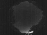
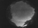
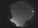
Date: May 31 2025
Time: 03:58:31.259 UTC
|

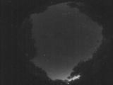
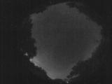
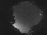
Date: May 31 2025
Time: 03:56:54.340 UTC
|
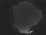
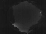
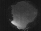
Date: May 31 2025
Time: 03:54:04.244 UTC
|
Date: May 31 2025
Time: 03:52:29.486 UTC
|
Date: May 31 2025
Time: 03:50:14.489 UTC
|
Date: May 31 2025
Time: 03:37:37.765 UTC
|

Date: May 31 2025
Time: 03:31:40.392 UTC
|
Date: May 31 2025
Time: 03:07:19.902 UTC
|
Date: May 31 2025
Time: 02:59:05.392 UTC
|
Date: May 31 2025
Time: 02:53:48.488 UTC
|
Date: May 31 2025
Time: 02:49:28.204 UTC
|
Date: May 31 2025
Time: 02:42:03.353 UTC
|
Date: May 31 2025
Time: 02:36:39.470 UTC
|
Date: May 31 2025
Time: 02:31:08.957 UTC
|
Date: May 31 2025
Time: 02:26:15.712 UTC
|
Date: May 31 2025
Time: 02:20:10.500 UTC
|
Date: May 31 2025
Time: 02:14:43.187 UTC
|
Date: May 31 2025
Time: 02:09:16.344 UTC
|
Date: May 31 2025
Time: 02:03:48.831 UTC
|
|
