WSentinel capture software creates 3 primary event files; composite jpg, video(.mp4), and a spreadsheet(.csv) which contains a timehistory of energy, azimuth/elevation, and pixel mapping for the event as seen from the camera location: (see Spreadsheet Column Definitions here).
NOTE: The az/el data in the spreadsheet are approximations and offline calibration is required for refined assessments. Refined calibrations require use of the nightly composites which are available via the link on the right side of this page.
If you don't see an event, or you are looking for data over 30 days old, please contact us at: 
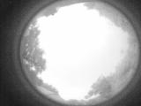
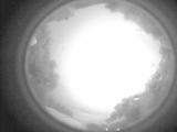
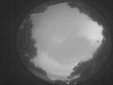
Node Events (last 30 days)
|
|
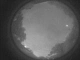
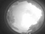
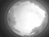
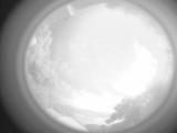
Date: May 31 2025
Time: 01:58:20.117 UTC
|
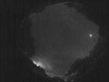
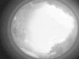
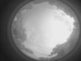
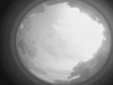
Date: May 31 2025
Time: 01:53:00.404 UTC
|
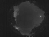
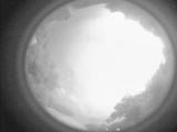
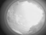
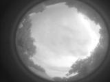
Date: May 31 2025
Time: 01:47:27.590 UTC
|
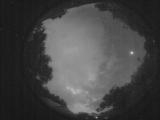
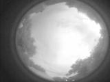
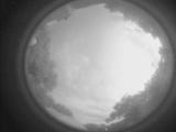
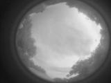
Date: May 31 2025
Time: 01:42:35.616 UTC
|
Date: May 31 2025
Time: 01:36:51.253 UTC
|
Date: May 31 2025
Time: 01:31:13.190 UTC
|
Date: May 31 2025
Time: 01:25:42.407 UTC
|
Date: May 31 2025
Time: 01:20:10.94 UTC
|
Date: May 31 2025
Time: 01:16:22.149 UTC
|
Date: May 31 2025
Time: 01:16:09.98 UTC
|
Date: May 31 2025
Time: 01:15:44.940 UTC
|
Date: May 31 2025
Time: 01:15:26.260 UTC
|
Date: May 31 2025
Time: 01:15:05.370 UTC
|
Date: May 31 2025
Time: 01:13:42.792 UTC
|
Date: May 31 2025
Time: 01:12:56.983 UTC
|
Date: May 31 2025
Time: 01:12:35.424 UTC
|
Date: May 31 2025
Time: 01:10:47.326 UTC
|
Date: May 31 2025
Time: 01:09:32.287 UTC
|
Date: May 31 2025
Time: 01:08:58.918 UTC
|
Date: May 31 2025
Time: 01:08:28.958 UTC
|
|
