WSentinel capture software creates 3 primary event files; composite jpg, video(.mp4), and a spreadsheet(.csv) which contains a timehistory of energy, azimuth/elevation, and pixel mapping for the event as seen from the camera location: (see Spreadsheet Column Definitions here).
NOTE: The az/el data in the spreadsheet are approximations and offline calibration is required for refined assessments. Refined calibrations require use of the nightly composites which are available via the link on the right side of this page.
If you don't see an event, or you are looking for data over 10 days old, please contact us at: 
Node Events (last 30 days)
|
|
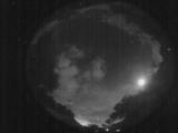
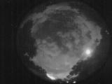
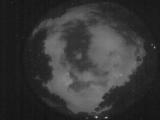
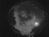
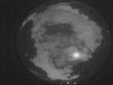
Date: May 25 2026
Time: 04:21:50.49 UTC
|
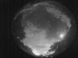
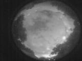
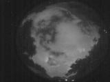
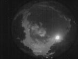
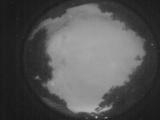
Date: May 25 2026
Time: 04:19:41.732 UTC
|
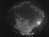
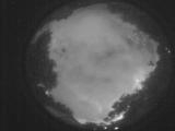
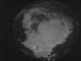
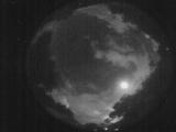
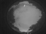
Date: May 25 2026
Time: 04:19:13.842 UTC
|
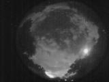
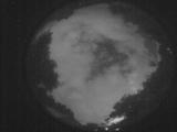
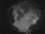
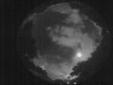
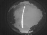
Date: May 25 2026
Time: 04:16:38.785 UTC
|
Date: May 25 2026
Time: 04:15:41.606 UTC
|
Date: May 25 2026
Time: 04:11:57.950 UTC
|
Date: May 25 2026
Time: 04:05:07.127 UTC
|
Date: May 25 2026
Time: 03:59:52.64 UTC
|
Date: May 25 2026
Time: 03:50:38.494 UTC
|
Date: May 25 2026
Time: 03:47:35.27 UTC
|
Date: May 25 2026
Time: 03:44:07.721 UTC
|
Date: May 25 2026
Time: 03:40:17.806 UTC
|
Date: May 25 2026
Time: 03:37:33.119 UTC
|
Date: May 25 2026
Time: 03:34:41.453 UTC
|
Date: May 25 2026
Time: 03:07:19.45 UTC
|
Date: May 25 2026
Time: 03:05:53.697 UTC
|
Date: May 25 2026
Time: 02:43:35.853 UTC
|
Date: May 25 2026
Time: 02:28:59.919 UTC
|
Date: May 25 2026
Time: 02:28:32.859 UTC
|
Date: May 25 2026
Time: 02:28:17.710 UTC
|
|
