WSentinel capture software creates 3 primary event files; composite jpg, video(.mp4), and a spreadsheet(.csv) which contains a timehistory of energy, azimuth/elevation, and pixel mapping for the event as seen from the camera location: (see Spreadsheet Column Definitions here).
NOTE: The az/el data in the spreadsheet are approximations and offline calibration is required for refined assessments. Refined calibrations require use of the nightly composites which are available via the link on the right side of this page.
If you don't see an event, or you are looking for data over 10 days old, please contact us at: 
Node Events (last 30 days)
|
|
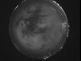
Date: June 25 2026
Time: 06:26:10.519 UTC
|
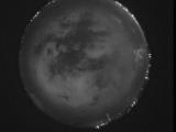
Date: June 25 2026
Time: 06:20:39.856 UTC
|
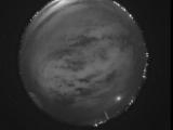
Date: June 25 2026
Time: 06:15:16.401 UTC
|
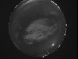
Date: June 25 2026
Time: 06:09:58.948 UTC
|
Date: June 25 2026
Time: 06:04:56.853 UTC
|
Date: June 25 2026
Time: 05:59:05.930 UTC
|
Date: June 25 2026
Time: 05:54:05.966 UTC
|
Date: June 25 2026
Time: 05:49:37.601 UTC
|
Date: June 25 2026
Time: 05:48:59.863 UTC
|
Date: June 25 2026
Time: 05:48:25.53 UTC
|
Date: June 25 2026
Time: 05:31:52.590 UTC
|
Date: June 25 2026
Time: 05:26:05.577 UTC
|
Date: June 25 2026
Time: 05:20:41.422 UTC
|
Date: June 25 2026
Time: 05:18:38.685 UTC
|
Date: June 25 2026
Time: 05:18:03.216 UTC
|
Date: June 25 2026
Time: 05:17:19.266 UTC
|
Date: June 25 2026
Time: 05:16:45.397 UTC
|
Date: June 25 2026
Time: 05:16:28.777 UTC
|
Date: June 25 2026
Time: 05:15:38.148 UTC
|
Date: June 25 2026
Time: 05:15:06.688 UTC
|
|
