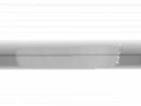
WSentinel capture software creates 3 primary event files; composite jpg, video(.mp4), and a spreadsheet(.csv) which contains a timehistory of energy, azimuth/elevation, and pixel mapping for the event as seen from the camera location: (see Spreadsheet Column Definitions here).
NOTE: The az/el data in the spreadsheet are approximations and offline calibration is required for refined assessments. Refined calibrations require use of the nightly composites which are available via the link on the right side of this page.
If you don't see an event, or you are looking for data over 10 days old, please contact us at: 
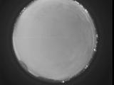
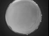
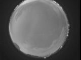
Node Events (last 30 days)
|
|
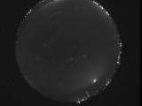
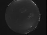
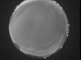
Date: June 25 2026
Time: 05:14:34.119 UTC
|
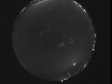
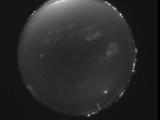
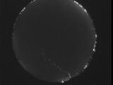
Date: June 25 2026
Time: 05:13:05.451 UTC
|
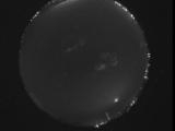
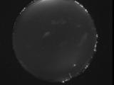
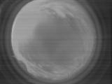
Date: June 25 2026
Time: 05:12:25.141 UTC
|
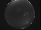
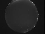
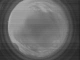
Date: June 25 2026
Time: 05:11:51.403 UTC
|
Date: June 25 2026
Time: 05:10:48.903 UTC
|
Date: June 25 2026
Time: 05:08:55.206 UTC
|
Date: June 25 2026
Time: 05:04:13.30 UTC
|
Date: June 25 2026
Time: 04:53:37.762 UTC
|
Date: June 25 2026
Time: 02:42:08.625 UTC
|
Date: June 24 2026
Time: 10:14:54.390 UTC
|
Date: June 24 2026
Time: 10:14:01.261 UTC
|
Date: June 24 2026
Time: 10:12:24.84 UTC
|

Date: June 24 2026
Time: 10:12:14.613 UTC
|
Date: June 24 2026
Time: 10:10:56.255 UTC
|
Date: June 24 2026
Time: 07:48:17.8 UTC
|
Date: June 23 2026
Time: 10:56:43.64 UTC
|

Date: June 23 2026
Time: 10:56:40.315 UTC
|
Date: June 23 2026
Time: 10:56:37.764 UTC
|
Date: June 23 2026
Time: 10:56:34.553 UTC
|
Date: June 23 2026
Time: 10:56:32.204 UTC
|
|
