WSentinel capture software creates 3 primary event files; composite jpg, video(.mp4), and a spreadsheet(.csv) which contains a timehistory of energy, azimuth/elevation, and pixel mapping for the event as seen from the camera location: (see Spreadsheet Column Definitions here).
NOTE: The az/el data in the spreadsheet are approximations and offline calibration is required for refined assessments. Refined calibrations require use of the nightly composites which are available via the link on the right side of this page.
If you don't see an event, or you are looking for data over 10 days old, please contact us at: 
Node Events (last 30 days)
|
|
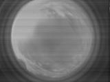
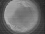
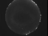
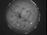
Date: June 23 2026
Time: 10:56:29.335 UTC
|
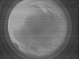
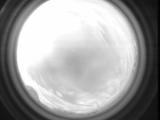
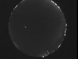
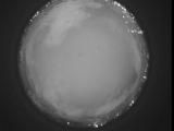
Date: June 23 2026
Time: 10:56:27.84 UTC
|
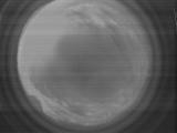
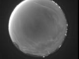
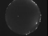
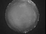
Date: June 23 2026
Time: 10:56:24.515 UTC
|
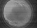
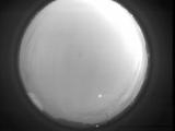
Date: June 23 2026
Time: 10:56:22.115 UTC
|
Date: June 23 2026
Time: 10:56:19.875 UTC
|
Date: June 23 2026
Time: 10:56:17.124 UTC
|
Date: June 23 2026
Time: 10:56:15.136 UTC
|
Date: June 23 2026
Time: 10:05:46.493 UTC
|

Date: June 23 2026
Time: 10:05:26.403 UTC
|
Date: June 23 2026
Time: 09:32:07.931 UTC
|
Date: June 23 2026
Time: 05:58:51.104 UTC
|
Date: June 23 2026
Time: 05:20:29.796 UTC
|
Date: June 23 2026
Time: 02:26:00.965 UTC
|
Date: June 23 2026
Time: 02:21:40.411 UTC
|
Date: June 23 2026
Time: 02:13:58.893 UTC
|
Date: June 23 2026
Time: 02:08:21.965 UTC
|
Date: June 23 2026
Time: 02:02:26.758 UTC
|
Date: June 22 2026
Time: 03:08:44.935 UTC
|
Date: June 21 2026
Time: 10:25:58.490 UTC
|
Date: June 21 2026
Time: 10:21:19.713 UTC
|
|
