WSentinel capture software creates 3 primary event files; composite jpg, video(.mp4), and a spreadsheet(.csv) which contains a timehistory of energy, azimuth/elevation, and pixel mapping for the event as seen from the camera location: (see Spreadsheet Column Definitions here).
NOTE: The az/el data in the spreadsheet are approximations and offline calibration is required for refined assessments. Refined calibrations require use of the nightly composites which are available via the link on the right side of this page.
If you don't see an event, or you are looking for data over 10 days old, please contact us at: 
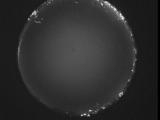
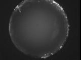
Node Events (last 30 days)
|
|
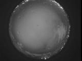
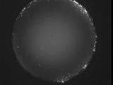
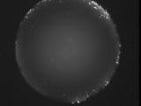
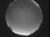
Date: June 21 2026
Time: 10:14:19.222 UTC
|
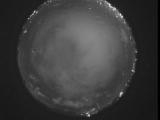
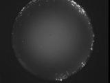
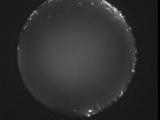
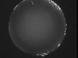
Date: June 21 2026
Time: 10:10:27.127 UTC
|
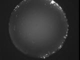
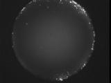
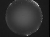
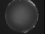
Date: June 21 2026
Time: 10:04:20.963 UTC
|
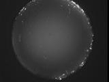
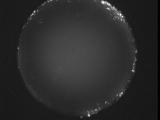
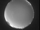
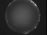
Date: June 21 2026
Time: 10:04:18.723 UTC
|

Date: June 21 2026
Time: 10:02:31.574 UTC
|

Date: June 21 2026
Time: 10:00:40.117 UTC
|
Date: June 21 2026
Time: 09:59:34.178 UTC
|
Date: June 21 2026
Time: 09:55:16.323 UTC
|
Date: June 21 2026
Time: 09:32:08.390 UTC
|
Date: June 21 2026
Time: 09:25:11.896 UTC
|
Date: June 21 2026
Time: 09:21:07.761 UTC
|
Date: June 21 2026
Time: 09:15:27.288 UTC
|
Date: June 21 2026
Time: 09:10:04.664 UTC
|
Date: June 21 2026
Time: 09:03:48.452 UTC
|
Date: June 21 2026
Time: 08:59:11.407 UTC
|
Date: June 21 2026
Time: 08:53:07.903 UTC
|
Date: June 21 2026
Time: 08:47:42.820 UTC
|
Date: June 21 2026
Time: 08:43:26.764 UTC
|
Date: June 21 2026
Time: 08:37:08.112 UTC
|
Date: June 21 2026
Time: 08:33:44.57 UTC
|
|
