WSentinel capture software creates 3 primary event files; composite jpg, video(.mp4), and a spreadsheet(.csv) which contains a timehistory of energy, azimuth/elevation, and pixel mapping for the event as seen from the camera location: (see Spreadsheet Column Definitions here).
NOTE: The az/el data in the spreadsheet are approximations and offline calibration is required for refined assessments. Refined calibrations require use of the nightly composites which are available via the link on the right side of this page.
If you don't see an event, or you are looking for data over 30 days old, please contact us at: 
Node Events (last 30 days)
|
|
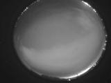
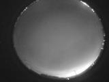
Date: July 22 2025
Time: 06:04:31.646 UTC
|
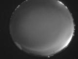
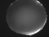
Date: July 22 2025
Time: 06:03:18.634 UTC
|
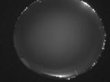
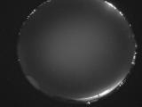
Date: July 22 2025
Time: 05:57:16.939 UTC
|
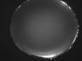
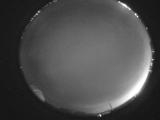
Date: July 22 2025
Time: 05:55:36.531 UTC
|

Date: July 22 2025
Time: 05:46:42.173 UTC
|
Date: July 22 2025
Time: 05:39:32.609 UTC
|
Date: July 22 2025
Time: 05:31:30.640 UTC
|
Date: July 22 2025
Time: 05:26:21.268 UTC
|
Date: July 22 2025
Time: 05:20:28.142 UTC
|
Date: July 22 2025
Time: 05:15:52.907 UTC
|

Date: July 22 2025
Time: 05:09:27.379 UTC
|
Date: July 22 2025
Time: 05:04:19.807 UTC
|
Date: July 22 2025
Time: 04:58:24.191 UTC
|

Date: July 22 2025
Time: 04:53:08.607 UTC
|
Date: July 22 2025
Time: 04:47:42.850 UTC
|
Date: July 22 2025
Time: 04:42:10.317 UTC
|
Date: July 22 2025
Time: 04:36:45.165 UTC
|

Date: July 22 2025
Time: 04:31:31.547 UTC
|
Date: July 22 2025
Time: 04:25:57.847 UTC
|
Date: July 22 2025
Time: 04:20:35.358 UTC
|
|
