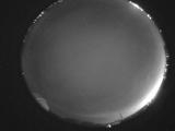
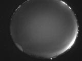
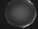
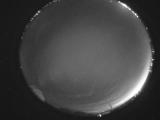
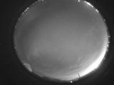
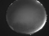
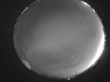
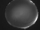
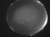
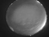
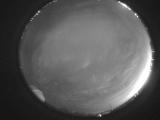
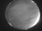
WSentinel capture software creates 3 primary event files; composite jpg, video(.mp4), and a spreadsheet(.csv) which contains a timehistory of energy, azimuth/elevation, and pixel mapping for the event as seen from the camera location: (see Spreadsheet Column Definitions here).
NOTE: The az/el data in the spreadsheet are approximations and offline calibration is required for refined assessments. Refined calibrations require use of the nightly composites which are available via the link on the right side of this page.
If you don't see an event, or you are looking for data over 30 days old, please contact us at: 
Node Events (last 30 days)
|
|
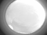
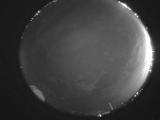
Date: July 22 2025
Time: 04:14:43.407 UTC
|
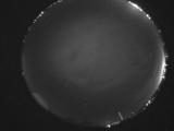
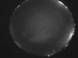
Date: July 22 2025
Time: 04:09:50.921 UTC
|
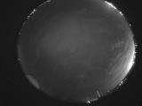
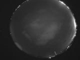
Date: July 22 2025
Time: 04:05:58.859 UTC
|
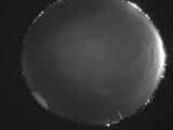
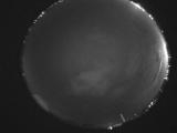
Date: July 22 2025
Time: 03:58:38.41 UTC
|
Date: July 22 2025
Time: 03:52:55.167 UTC
|
Date: July 22 2025
Time: 03:49:31.373 UTC
|
Date: July 22 2025
Time: 03:41:58.807 UTC
|
Date: July 22 2025
Time: 03:38:10.495 UTC
|
Date: July 22 2025
Time: 03:31:02.688 UTC
|
Date: July 22 2025
Time: 03:25:42.203 UTC
|
Date: July 22 2025
Time: 03:20:28.161 UTC
|
Date: July 22 2025
Time: 03:14:45.212 UTC
|
Date: July 22 2025
Time: 03:09:39.250 UTC
|
Date: July 22 2025
Time: 03:03:44.624 UTC
|
Date: July 22 2025
Time: 02:58:21.770 UTC
|
Date: July 22 2025
Time: 02:53:01.385 UTC
|
Date: July 22 2025
Time: 02:47:27.780 UTC
|
Date: July 22 2025
Time: 02:42:14.869 UTC
|
Date: July 22 2025
Time: 02:36:58.192 UTC
|
Date: July 22 2025
Time: 02:31:30.29 UTC
|
|
