WSentinel capture software creates 3 primary event files; composite jpg, video(.mp4), and a spreadsheet(.csv) which contains a timehistory of energy, azimuth/elevation, and pixel mapping for the event as seen from the camera location: (see Spreadsheet Column Definitions here).
NOTE: The az/el data in the spreadsheet are approximations and offline calibration is required for refined assessments. Refined calibrations require use of the nightly composites which are available via the link on the right side of this page.
If you don't see an event, or you are looking for data over 30 days old, please contact us at: 
Node Events (last 30 days)
|
|

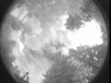
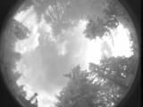
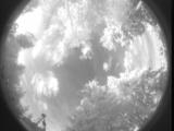
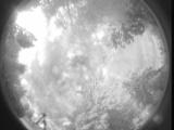
Date: July 5 2025
Time: 01:11:10.835 UTC
|

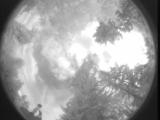
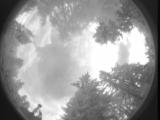
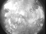
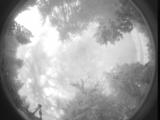
Date: July 5 2025
Time: 01:10:52.783 UTC
|
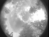
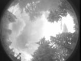
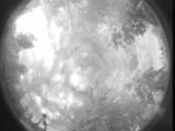
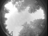
Date: July 5 2025
Time: 01:10:43.423 UTC
|
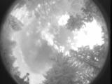
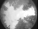
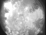
Date: July 5 2025
Time: 01:06:50.575 UTC
|
Date: July 5 2025
Time: 00:58:18.918 UTC
|

Date: July 5 2025
Time: 00:57:46.216 UTC
|
Date: July 5 2025
Time: 00:57:27.637 UTC
|
Date: July 5 2025
Time: 00:33:56.669 UTC
|
Date: July 5 2025
Time: 00:29:55.307 UTC
|

Date: July 5 2025
Time: 00:26:14.661 UTC
|

Date: July 5 2025
Time: 00:25:59.710 UTC
|
Date: July 5 2025
Time: 00:24:09.908 UTC
|
Date: July 4 2025
Time: 23:55:57.205 UTC
|
Date: July 4 2025
Time: 13:54:57.432 UTC
|
Date: July 4 2025
Time: 13:41:14.825 UTC
|
Date: July 4 2025
Time: 13:37:09.190 UTC
|
Date: July 4 2025
Time: 13:01:38.569 UTC
|
Date: July 4 2025
Time: 13:01:06.837 UTC
|
Date: July 4 2025
Time: 12:45:31.719 UTC
|
Date: July 4 2025
Time: 12:24:15.935 UTC
|
|
