WSentinel capture software creates 3 primary event files; composite jpg, video(.mp4), and a spreadsheet(.csv) which contains a timehistory of energy, azimuth/elevation, and pixel mapping for the event as seen from the camera location: (see Spreadsheet Column Definitions here).
NOTE: The az/el data in the spreadsheet are approximations and offline calibration is required for refined assessments. Refined calibrations require use of the nightly composites which are available via the link on the right side of this page.
If you don't see an event, or you are looking for data over 10 days old, please contact us at: 
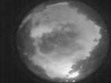
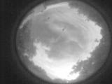
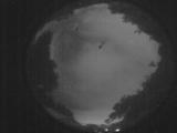
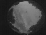
Node Events (last 30 days)
|
|
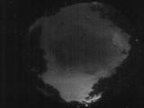
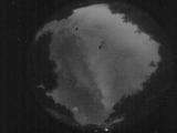
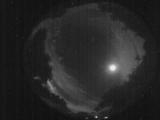
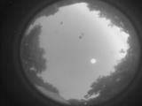
Date: May 23 2026
Time: 05:51:26.279 UTC
|
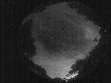
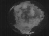
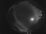
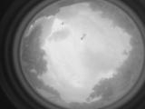
Date: May 23 2026
Time: 05:50:50.680 UTC
|
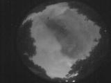
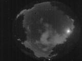
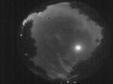
Date: May 23 2026
Time: 05:36:04.36 UTC
|
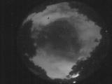
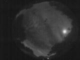
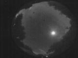
Date: May 23 2026
Time: 05:33:33.918 UTC
|
Date: May 23 2026
Time: 05:31:40.410 UTC
|
Date: May 23 2026
Time: 05:29:04.894 UTC
|
Date: May 23 2026
Time: 05:01:26.921 UTC
|
Date: May 23 2026
Time: 04:43:08.670 UTC
|
Date: May 23 2026
Time: 04:41:27.972 UTC
|
Date: May 23 2026
Time: 04:02:07.349 UTC
|
Date: May 23 2026
Time: 03:44:03.610 UTC
|
Date: May 23 2026
Time: 03:19:10.691 UTC
|
Date: May 23 2026
Time: 01:47:05.778 UTC
|
Date: May 23 2026
Time: 01:44:00.132 UTC
|
Date: May 23 2026
Time: 01:35:30.111 UTC
|
Date: May 23 2026
Time: 01:29:29.68 UTC
|
Date: May 23 2026
Time: 01:07:19.663 UTC
|

Date: May 23 2026
Time: 01:06:25.285 UTC
|
Date: May 22 2026
Time: 10:40:05.894 UTC
|
Date: May 22 2026
Time: 08:42:40.592 UTC
|
|
