WSentinel capture software creates 3 primary event files; composite jpg, video(.mp4), and a spreadsheet(.csv) which contains a timehistory of energy, azimuth/elevation, and pixel mapping for the event as seen from the camera location: (see Spreadsheet Column Definitions here).
NOTE: The az/el data in the spreadsheet are approximations and offline calibration is required for refined assessments. Refined calibrations require use of the nightly composites which are available via the link on the right side of this page.
If you don't see an event, or you are looking for data over 10 days old, please contact us at: 
Node Events (last 30 days)
|
|
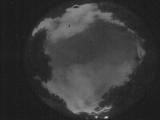
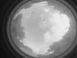
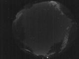
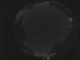
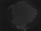
Date: May 22 2026
Time: 08:36:51.559 UTC
|
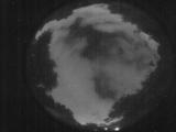
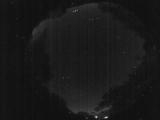
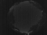
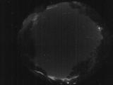
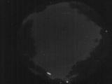
Date: May 22 2026
Time: 08:17:09.903 UTC
|
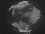
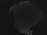
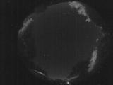
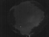
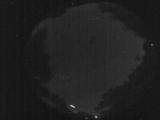
Date: May 22 2026
Time: 02:20:07.341 UTC
|
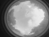
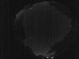
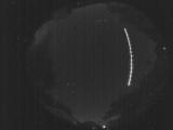
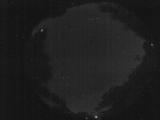
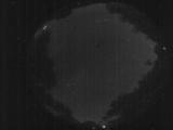
Date: May 21 2026
Time: 00:24:35.812 UTC
|
Date: May 21 2026
Time: 00:24:33.782 UTC
|
Date: May 20 2026
Time: 03:57:49.563 UTC
|
Date: May 20 2026
Time: 03:57:47.23 UTC
|
Date: May 20 2026
Time: 03:57:40.583 UTC
|
Date: May 20 2026
Time: 03:34:07.31 UTC
|
Date: May 20 2026
Time: 03:09:28.321 UTC
|
Date: May 20 2026
Time: 03:04:57.65 UTC
|
Date: May 19 2026
Time: 03:58:17.642 UTC
|
Date: May 19 2026
Time: 01:52:11.358 UTC
|
Date: May 19 2026
Time: 01:36:45.906 UTC
|
Date: May 18 2026
Time: 02:10:43.977 UTC
|
Date: May 18 2026
Time: 01:36:17.65 UTC
|
Date: May 18 2026
Time: 01:35:35.726 UTC
|
Date: May 18 2026
Time: 01:35:33.827 UTC
|
Date: May 18 2026
Time: 01:35:31.957 UTC
|
Date: May 18 2026
Time: 01:31:02.801 UTC
|
|
