WSentinel capture software creates 3 primary event files; composite jpg, video(.mp4), and a spreadsheet(.csv) which contains a timehistory of energy, azimuth/elevation, and pixel mapping for the event as seen from the camera location: (see Spreadsheet Column Definitions here).
NOTE: The az/el data in the spreadsheet are approximations and offline calibration is required for refined assessments. Refined calibrations require use of the nightly composites which are available via the link on the right side of this page.
If you don't see an event, or you are looking for data over 10 days old, please contact us at: 
Node Events (last 30 days)
|
|
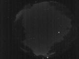
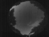
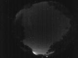
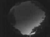
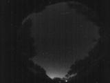
Date: June 27 2026
Time: 09:18:05.21 UTC
|

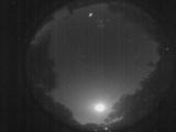
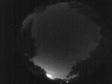
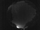
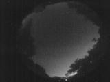
Date: June 27 2026
Time: 03:41:44.413 UTC
|
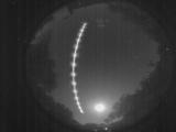
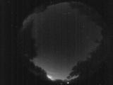
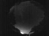
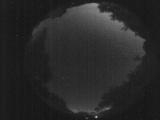
Date: June 27 2026
Time: 03:41:41.614 UTC
|

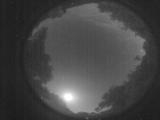
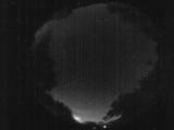
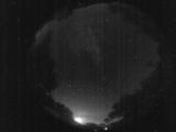
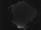
Date: June 27 2026
Time: 03:41:36.4 UTC
|

Date: June 27 2026
Time: 03:41:33.174 UTC
|
Date: June 27 2026
Time: 03:41:12.54 UTC
|
Date: June 27 2026
Time: 01:48:53.987 UTC
|
Date: June 26 2026
Time: 09:55:06.310 UTC
|
Date: June 26 2026
Time: 09:26:00.346 UTC
|
Date: June 26 2026
Time: 09:24:21.117 UTC
|
Date: June 26 2026
Time: 09:23:09.678 UTC
|
Date: June 26 2026
Time: 09:22:24.299 UTC
|
Date: June 26 2026
Time: 09:21:44.469 UTC
|
Date: June 26 2026
Time: 09:21:08.500 UTC
|
Date: June 26 2026
Time: 09:18:31.443 UTC
|
Date: June 26 2026
Time: 08:20:56.50 UTC
|
Date: June 26 2026
Time: 08:16:22.286 UTC
|
Date: June 26 2026
Time: 08:09:53.984 UTC
|
Date: June 24 2026
Time: 09:29:29.457 UTC
|
Date: June 24 2026
Time: 09:01:54.804 UTC
|
|
