WSentinel capture software creates 3 primary event files; composite jpg, video(.mp4), and a spreadsheet(.csv) which contains a timehistory of energy, azimuth/elevation, and pixel mapping for the event as seen from the camera location: (see Spreadsheet Column Definitions here).
NOTE: The az/el data in the spreadsheet are approximations and offline calibration is required for refined assessments. Refined calibrations require use of the nightly composites which are available via the link on the right side of this page.
If you don't see an event, or you are looking for data over 10 days old, please contact us at: 
Node Events (last 30 days)
|
|
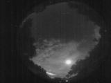
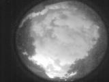
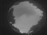
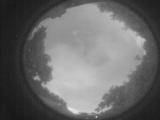
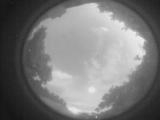
Date: June 24 2026
Time: 02:02:31.768 UTC
|
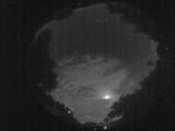
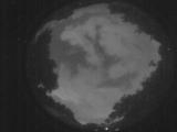
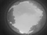
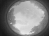
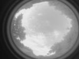
Date: June 24 2026
Time: 01:56:43.304 UTC
|
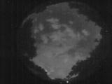
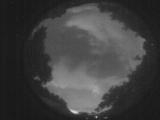
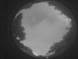
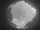
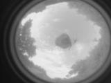
Date: June 24 2026
Time: 01:51:17.289 UTC
|
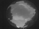
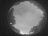
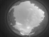
Date: June 24 2026
Time: 01:47:44.823 UTC
|
Date: June 24 2026
Time: 01:47:34.673 UTC
|
Date: June 24 2026
Time: 01:45:47.775 UTC
|
Date: June 24 2026
Time: 01:43:25.377 UTC
|
Date: June 24 2026
Time: 01:41:29.799 UTC
|
Date: June 24 2026
Time: 01:37:18.756 UTC
|
Date: June 24 2026
Time: 01:36:59.36 UTC
|
Date: June 24 2026
Time: 01:36:12.796 UTC
|
Date: June 24 2026
Time: 01:35:32.688 UTC
|
Date: June 24 2026
Time: 01:34:33.869 UTC
|
Date: June 24 2026
Time: 01:33:37.380 UTC
|
Date: June 24 2026
Time: 01:31:31.823 UTC
|

Date: June 24 2026
Time: 01:31:03.764 UTC
|
Date: June 24 2026
Time: 01:30:26.665 UTC
|
Date: June 24 2026
Time: 01:29:11.96 UTC
|
Date: June 23 2026
Time: 10:54:06.92 UTC
|
Date: June 23 2026
Time: 10:54:03.822 UTC
|
|
