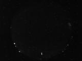
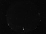
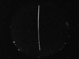
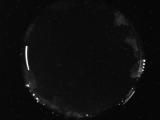
WSentinel capture software creates 3 primary event files; composite jpg, video(.mp4), and a spreadsheet(.csv) which contains a timehistory of energy, azimuth/elevation, and pixel mapping for the event as seen from the camera location: (see Spreadsheet Column Definitions here).
NOTE: The az/el data in the spreadsheet are approximations and offline calibration is required for refined assessments. Refined calibrations require use of the nightly composites which are available via the link on the right side of this page.
If you don't see an event, or you are looking for data over 10 days old, please contact us at: 
Node Events (last 30 days)
|
|
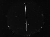
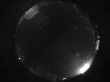
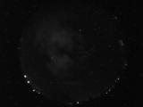
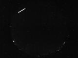
Date: May 14 2026
Time: 05:23:46.79 UTC
|
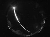
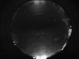
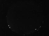
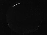
Date: May 14 2026
Time: 05:07:56.86 UTC
|
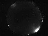
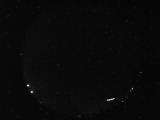
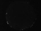
Date: May 14 2026
Time: 03:39:39.397 UTC
|
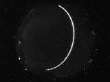
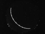
Date: May 14 2026
Time: 03:28:57.89 UTC
|
Date: May 14 2026
Time: 03:28:54.933 UTC
|
Date: May 14 2026
Time: 03:28:50.370 UTC
|
Date: May 14 2026
Time: 03:27:23.386 UTC
|
Date: May 13 2026
Time: 11:26:47.308 UTC
|
Date: May 13 2026
Time: 07:03:15.958 UTC
|
Date: May 13 2026
Time: 07:03:13.286 UTC
|
Date: May 13 2026
Time: 07:02:59.255 UTC
|
Date: May 13 2026
Time: 04:21:28.662 UTC
|
Date: May 13 2026
Time: 03:54:44.960 UTC
|
Date: May 12 2026
Time: 07:16:13.294 UTC
|

Date: May 12 2026
Time: 07:16:10.544 UTC
|
Date: May 12 2026
Time: 07:16:07.794 UTC
|
Date: May 12 2026
Time: 07:15:50.248 UTC
|
Date: May 12 2026
Time: 06:38:00.490 UTC
|
Date: May 12 2026
Time: 06:37:58.318 UTC
|
Date: May 12 2026
Time: 04:18:48.980 UTC
|
|
