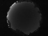
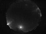
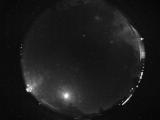
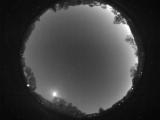
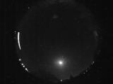
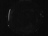
WSentinel capture software creates 3 primary event files; composite jpg, video(.mp4), and a spreadsheet(.csv) which contains a timehistory of energy, azimuth/elevation, and pixel mapping for the event as seen from the camera location: (see Spreadsheet Column Definitions here).
NOTE: The az/el data in the spreadsheet are approximations and offline calibration is required for refined assessments. Refined calibrations require use of the nightly composites which are available via the link on the right side of this page.
If you don't see an event, or you are looking for data over 10 days old, please contact us at: 
Node Events (last 30 days)
|
|
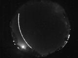
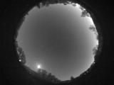
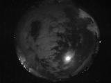
Date: May 31 2026
Time: 04:10:08.869 UTC
|
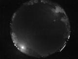
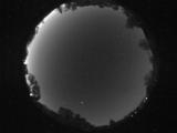
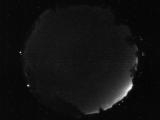
Date: May 31 2026
Time: 04:05:06.57 UTC
|
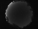
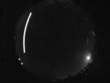
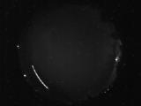
Date: May 29 2026
Time: 11:19:30.465 UTC
|
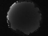
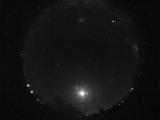
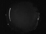
Date: May 29 2026
Time: 11:19:27.700 UTC
|
Date: May 29 2026
Time: 11:19:25.731 UTC
|
Date: May 29 2026
Time: 04:52:21.929 UTC
|
Date: May 29 2026
Time: 04:19:59.961 UTC
|
Date: May 29 2026
Time: 03:19:13.976 UTC
|
Date: May 29 2026
Time: 03:18:53.194 UTC
|
Date: May 28 2026
Time: 11:25:35.416 UTC
|
Date: May 28 2026
Time: 09:05:40.620 UTC
|
Date: May 28 2026
Time: 04:57:52.276 UTC
|
Date: May 27 2026
Time: 04:33:41.455 UTC
|
Date: May 26 2026
Time: 11:10:48.851 UTC
|
Date: May 26 2026
Time: 09:54:01.186 UTC
|
Date: May 26 2026
Time: 06:31:20.580 UTC
|
Date: May 26 2026
Time: 04:54:11.118 UTC
|
Date: May 25 2026
Time: 10:23:10.168 UTC
|
Date: May 25 2026
Time: 07:29:28.277 UTC
|
Date: May 25 2026
Time: 07:29:14.949 UTC
|
|
