WSentinel capture software creates 3 primary event files; composite jpg, video(.mp4), and a spreadsheet(.csv) which contains a timehistory of energy, azimuth/elevation, and pixel mapping for the event as seen from the camera location: (see Spreadsheet Column Definitions here).
NOTE: The az/el data in the spreadsheet are approximations and offline calibration is required for refined assessments. Refined calibrations require use of the nightly composites which are available via the link on the right side of this page.
If you don't see an event, or you are looking for data over 10 days old, please contact us at: 
Node Events (last 30 days)
|
|
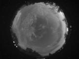
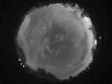
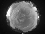
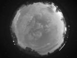
Date: July 16 2026
Time: 03:24:14.144 UTC
|
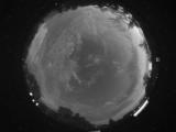
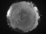
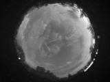
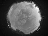
Date: July 16 2026
Time: 03:24:10.909 UTC
|
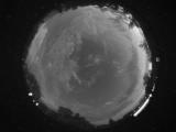
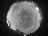
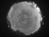
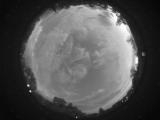
Date: July 16 2026
Time: 03:24:08.534 UTC
|
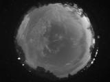
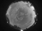
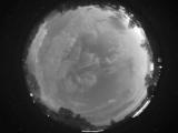
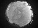
Date: July 16 2026
Time: 03:24:05.128 UTC
|
Date: July 16 2026
Time: 03:23:57.628 UTC
|
Date: July 16 2026
Time: 03:23:45.157 UTC
|
Date: July 16 2026
Time: 03:23:24.79 UTC
|
Date: July 16 2026
Time: 03:22:29.829 UTC
|
Date: July 16 2026
Time: 03:22:24.938 UTC
|

Date: July 16 2026
Time: 03:22:08.267 UTC
|
Date: July 16 2026
Time: 03:22:05.782 UTC
|
Date: July 16 2026
Time: 03:22:02.392 UTC
|
Date: July 16 2026
Time: 03:21:30.923 UTC
|
Date: July 16 2026
Time: 03:21:05.860 UTC
|
Date: July 16 2026
Time: 03:21:03.282 UTC
|

Date: July 16 2026
Time: 03:21:00.235 UTC
|
Date: July 16 2026
Time: 03:20:57.813 UTC
|

Date: July 16 2026
Time: 03:20:55.782 UTC
|

Date: July 16 2026
Time: 03:20:53.438 UTC
|
Date: July 16 2026
Time: 03:19:54.720 UTC
|
|
