WSentinel capture software creates 3 primary event files; composite jpg, video(.mp4), and a spreadsheet(.csv) which contains a timehistory of energy, azimuth/elevation, and pixel mapping for the event as seen from the camera location: (see Spreadsheet Column Definitions here).
NOTE: The az/el data in the spreadsheet are approximations and offline calibration is required for refined assessments. Refined calibrations require use of the nightly composites which are available via the link on the right side of this page.
If you don't see an event, or you are looking for data over 10 days old, please contact us at: 
Node Events (last 30 days)
|
|
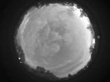
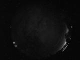
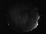
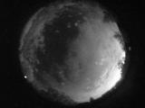
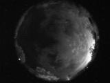
Date: July 16 2026
Time: 03:19:41.267 UTC
|
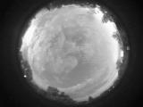
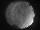
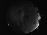
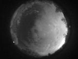
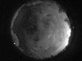
Date: July 16 2026
Time: 03:19:14.95 UTC
|

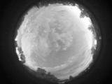
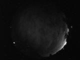
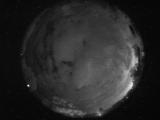
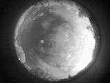
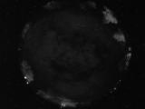
Date: July 16 2026
Time: 03:18:02.48 UTC
|
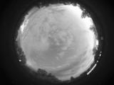
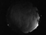
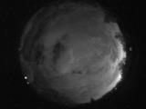
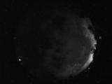
Date: July 16 2026
Time: 03:17:06.360 UTC
|
Date: July 16 2026
Time: 03:15:35.1 UTC
|
Date: July 15 2026
Time: 10:43:37.674 UTC
|
Date: July 15 2026
Time: 10:31:48.672 UTC
|
Date: July 15 2026
Time: 10:28:56.719 UTC
|
Date: July 15 2026
Time: 10:27:06.969 UTC
|
Date: July 15 2026
Time: 10:22:20.46 UTC
|
Date: July 15 2026
Time: 10:18:20.483 UTC
|
Date: July 15 2026
Time: 10:04:45.816 UTC
|
Date: July 15 2026
Time: 10:00:54.488 UTC
|
Date: July 15 2026
Time: 09:37:54.289 UTC
|
Date: July 15 2026
Time: 09:34:08.836 UTC
|
Date: July 15 2026
Time: 09:28:56.648 UTC
|
Date: July 15 2026
Time: 09:26:25.945 UTC
|
Date: July 15 2026
Time: 09:24:37.945 UTC
|
Date: July 15 2026
Time: 09:22:27.866 UTC
|
Date: July 15 2026
Time: 08:28:51.887 UTC
|
|
