WSentinel capture software creates 3 primary event files; composite jpg, video(.mp4), and a spreadsheet(.csv) which contains a timehistory of energy, azimuth/elevation, and pixel mapping for the event as seen from the camera location: (see Spreadsheet Column Definitions here).
NOTE: The az/el data in the spreadsheet are approximations and offline calibration is required for refined assessments. Refined calibrations require use of the nightly composites which are available via the link on the right side of this page.
If you don't see an event, or you are looking for data over 10 days old, please contact us at: 
Node Events (last 30 days)
|
|
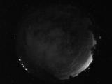
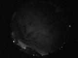
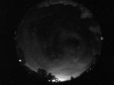
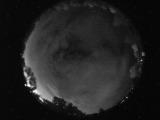
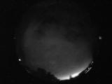
Date: July 15 2026
Time: 06:19:45.667 UTC
|
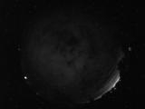
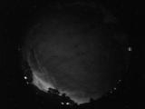
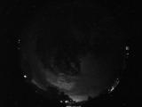
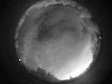
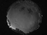
Date: July 15 2026
Time: 06:11:22.808 UTC
|
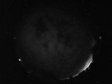
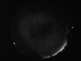
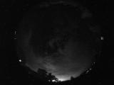
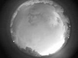
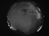
Date: July 15 2026
Time: 06:07:44.306 UTC
|
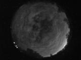
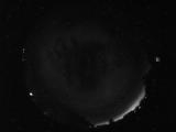
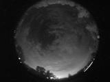
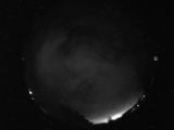
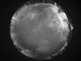
Date: July 15 2026
Time: 05:57:59.556 UTC
|
Date: July 15 2026
Time: 05:38:24.242 UTC
|
Date: July 15 2026
Time: 05:31:13.300 UTC
|
Date: July 15 2026
Time: 05:23:48.925 UTC
|
Date: July 15 2026
Time: 05:21:16.438 UTC
|
Date: July 15 2026
Time: 05:18:01.501 UTC
|
Date: July 15 2026
Time: 05:12:50.329 UTC
|
Date: July 15 2026
Time: 05:09:26.516 UTC
|
Date: July 15 2026
Time: 05:04:30.400 UTC
|
Date: July 15 2026
Time: 04:20:29.258 UTC
|
Date: July 15 2026
Time: 04:14:49.789 UTC
|
Date: July 15 2026
Time: 04:10:44.133 UTC
|
Date: July 15 2026
Time: 04:06:00.219 UTC
|
Date: July 15 2026
Time: 04:04:08.548 UTC
|
Date: July 15 2026
Time: 03:45:30.946 UTC
|
Date: July 15 2026
Time: 03:36:49.73 UTC
|
Date: July 15 2026
Time: 03:27:53.542 UTC
|
|
