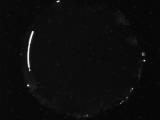
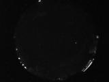
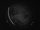
WSentinel capture software creates 3 primary event files; composite jpg, video(.mp4), and a spreadsheet(.csv) which contains a timehistory of energy, azimuth/elevation, and pixel mapping for the event as seen from the camera location: (see Spreadsheet Column Definitions here).
NOTE: The az/el data in the spreadsheet are approximations and offline calibration is required for refined assessments. Refined calibrations require use of the nightly composites which are available via the link on the right side of this page.
If you don't see an event, or you are looking for data over 10 days old, please contact us at: 
Node Events (last 30 days)
|
|
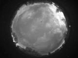
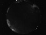
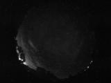
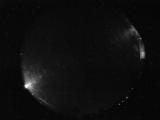
Date: July 15 2026
Time: 03:25:07.339 UTC
|
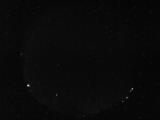
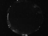
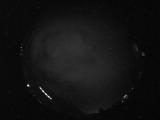
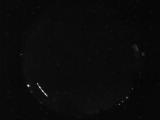
Date: July 14 2026
Time: 10:03:52.724 UTC
|
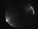
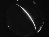
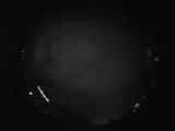
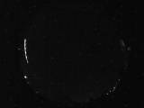
Date: July 14 2026
Time: 09:10:01.152 UTC
|
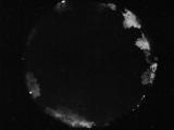
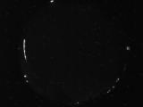
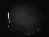
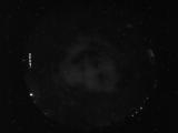
Date: July 14 2026
Time: 06:18:43.321 UTC
|
Date: July 14 2026
Time: 06:17:50.602 UTC
|
Date: July 14 2026
Time: 05:53:32.880 UTC
|
Date: July 14 2026
Time: 05:48:25.899 UTC
|
Date: July 14 2026
Time: 05:10:49.700 UTC
|
Date: July 14 2026
Time: 04:51:01.365 UTC
|
Date: July 14 2026
Time: 04:07:01.104 UTC
|
Date: July 13 2026
Time: 11:43:48.282 UTC
|
Date: July 13 2026
Time: 07:59:22.786 UTC
|
Date: July 13 2026
Time: 07:03:14.499 UTC
|
Date: July 13 2026
Time: 04:41:20.652 UTC
|
Date: July 13 2026
Time: 04:41:18.27 UTC
|
Date: July 13 2026
Time: 04:41:05.543 UTC
|
Date: July 12 2026
Time: 08:58:46.573 UTC
|
Date: July 12 2026
Time: 08:30:15.335 UTC
|
Date: July 12 2026
Time: 08:30:02.789 UTC
|
Date: July 12 2026
Time: 06:37:54.466 UTC
|
|
