WSentinel capture software creates 3 primary event files; composite jpg, video(.mp4), and a spreadsheet(.csv) which contains a timehistory of energy, azimuth/elevation, and pixel mapping for the event as seen from the camera location: (see Spreadsheet Column Definitions here).
NOTE: The az/el data in the spreadsheet are approximations and offline calibration is required for refined assessments. Refined calibrations require use of the nightly composites which are available via the link on the right side of this page.
If you don't see an event, or you are looking for data over 10 days old, please contact us at: 
Node Events (last 30 days)
|
|
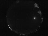
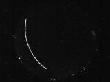
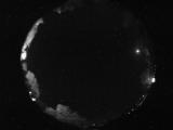
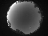
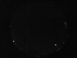
Date: May 22 2026
Time: 03:55:02.557 UTC
|
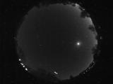
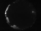
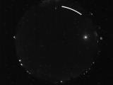
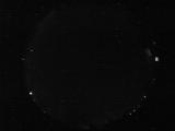
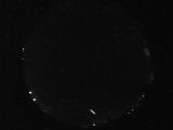
Date: May 22 2026
Time: 03:25:31.779 UTC
|
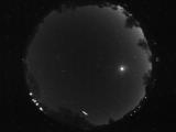
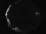
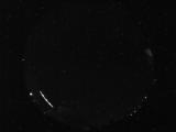
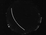
Date: May 22 2026
Time: 03:25:28.966 UTC
|
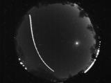
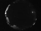
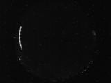
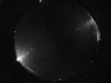
Date: May 22 2026
Time: 03:24:59.732 UTC
|
Date: May 21 2026
Time: 09:18:42.735 UTC
|
Date: May 21 2026
Time: 04:53:19.714 UTC
|
Date: May 21 2026
Time: 04:45:50.34 UTC
|
Date: May 21 2026
Time: 04:43:37.440 UTC
|
Date: May 21 2026
Time: 04:43:24.128 UTC
|
Date: May 21 2026
Time: 03:52:32.765 UTC
|
Date: May 21 2026
Time: 03:52:19.390 UTC
|
Date: May 21 2026
Time: 03:32:04.734 UTC
|
Date: May 20 2026
Time: 11:35:05.106 UTC
|
Date: May 20 2026
Time: 11:01:05.36 UTC
|
Date: May 20 2026
Time: 08:27:21.740 UTC
|
Date: May 20 2026
Time: 08:27:09.225 UTC
|
Date: May 20 2026
Time: 07:13:48.953 UTC
|
Date: May 20 2026
Time: 05:17:55.932 UTC
|
Date: May 20 2026
Time: 05:17:28.776 UTC
|
Date: May 20 2026
Time: 05:08:39.323 UTC
|
|
