WSentinel capture software creates 3 primary event files; composite jpg, video(.mp4), and a spreadsheet(.csv) which contains a timehistory of energy, azimuth/elevation, and pixel mapping for the event as seen from the camera location: (see Spreadsheet Column Definitions here).
NOTE: The az/el data in the spreadsheet are approximations and offline calibration is required for refined assessments. Refined calibrations require use of the nightly composites which are available via the link on the right side of this page.
If you don't see an event, or you are looking for data over 10 days old, please contact us at: 
Node Events (last 30 days)
|
|
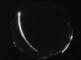
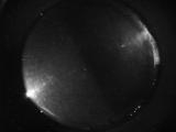
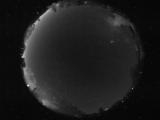
Date: May 20 2026
Time: 04:15:22.905 UTC
|
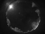
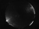
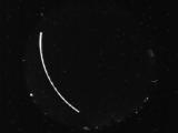
Date: May 20 2026
Time: 03:37:06.442 UTC
|
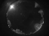
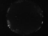
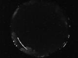
Date: May 19 2026
Time: 10:24:33.808 UTC
|
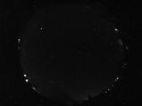
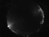
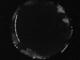
Date: May 19 2026
Time: 07:18:50.981 UTC
|
Date: May 19 2026
Time: 05:16:16.197 UTC
|
Date: May 19 2026
Time: 05:16:11.619 UTC
|
Date: May 19 2026
Time: 05:16:09.260 UTC
|
Date: May 19 2026
Time: 03:58:49.204 UTC
|
Date: May 18 2026
Time: 06:15:38.595 UTC
|
Date: May 18 2026
Time: 04:39:45.661 UTC
|
Date: May 18 2026
Time: 03:52:02.882 UTC
|
Date: May 17 2026
Time: 10:03:00.851 UTC
|
Date: May 17 2026
Time: 08:10:06.241 UTC
|
Date: May 17 2026
Time: 06:40:24.501 UTC
|
Date: May 17 2026
Time: 03:47:15.175 UTC
|
Date: May 17 2026
Time: 03:46:33.659 UTC
|
Date: May 16 2026
Time: 11:27:08.210 UTC
|
Date: May 16 2026
Time: 06:56:17.483 UTC
|
Date: May 16 2026
Time: 03:42:42.663 UTC
|
Date: May 16 2026
Time: 03:42:34.428 UTC
|
|
